
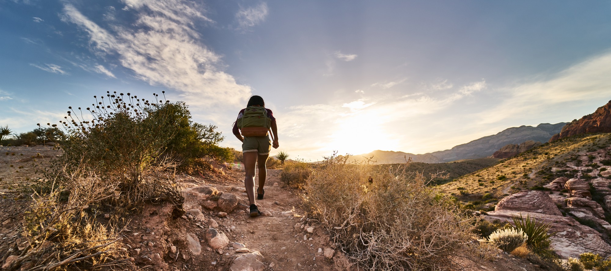
With the onset of the COVID-19 pandemic severely hindering the traditional indoor activities that individuals can do with friends or family, many have turned their attention towards outdoor leisurely activities such as picnics, hiking, and sports that allow for social distancing. Since many of our readers may not know optimal locations for such activities, we will highlight a few popular destinations near the UCLA campus for one such particular activity: hiking. Hiking trails near campus that one could potentially explore are categorized based on difficulty level and location.
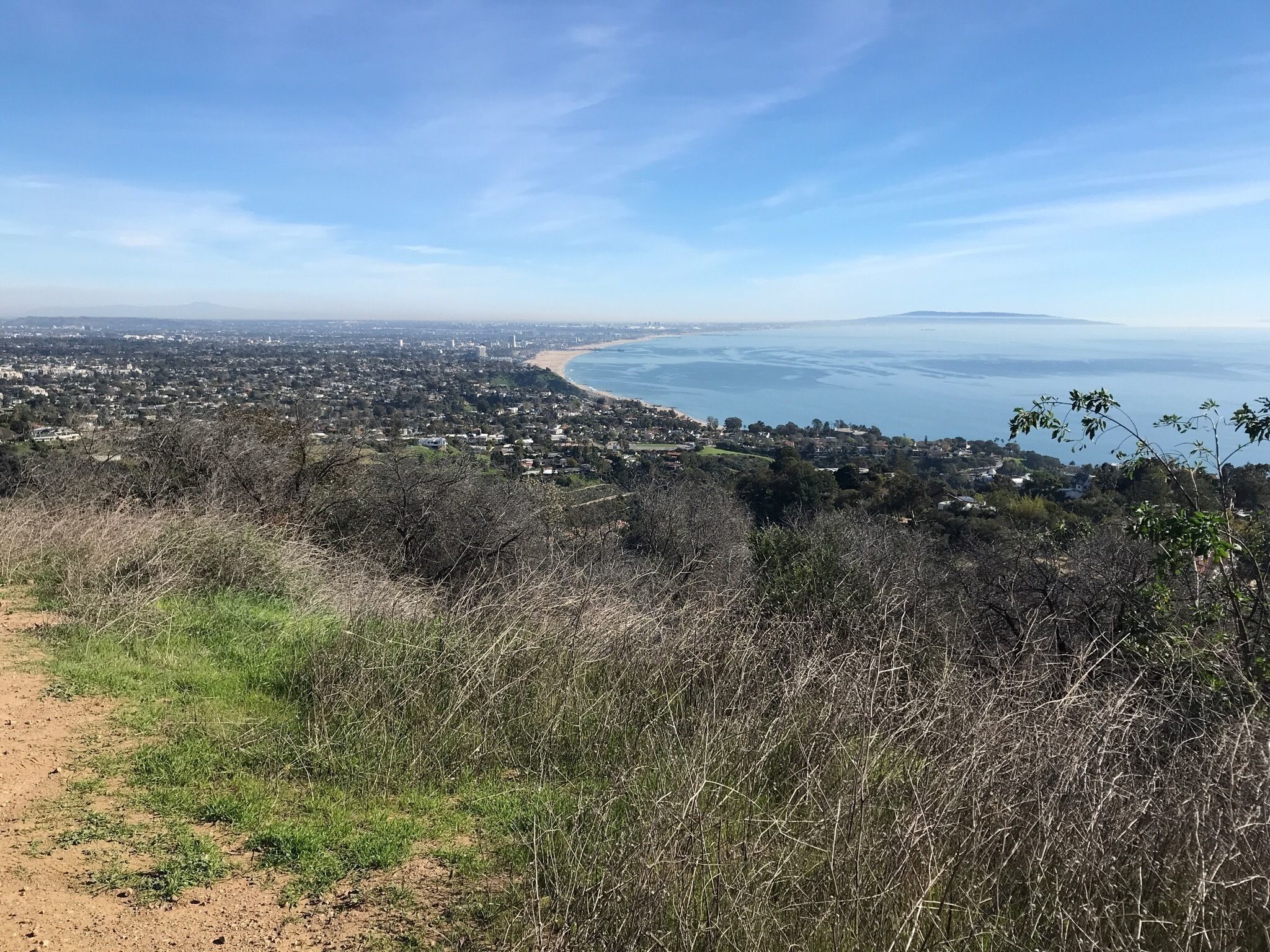
1. Baldwin Hills Scenic Overlook
Distance from UCLA: 8.6 miles Difficulty Level: Easy
Located in the heart of Culver City, the Baldwin Hills Scenic Overlook is one of the most popular hiking trails in Los Angeles proper. While the trail is not shaded and can get exceedingly hotter during the summer months, it is a perfect destination for individuals considering hiking more in the next few months as temperatures drop, and is also a more accessible trail for amateur hikers with the Culver City Stairs that lead right to the trailhead. The overlook is most known for its sweeping views of every facet of the backdrop of L.A., and from different vantage points, one can see the L.A. skyline, the Hollywood sign, and Venice Beach.
2. Mandeville Canyon Fire Road
Distance from UCLA: 3.3 miles Difficulty Level: Moderate
The closest trail to UCLA located in our neighboring Brentwood is Mandeville Canyon Fire Road, an inconspicuous spot for experienced hikers or enthusiastic beginners willing to undergo a more strenuous trek. The trail is far more off-the-beaten-track than Baldwin Hills, and has a trailhead in the middle of a hilly residential neighborhood. There is also limited parking at the trailhead, with a maximum capacity of 10 cars, so many patrons will come early in the morning to avoid potential crowds or are locals from surrounding neighborhoods. The trail is usually a two to two-and-a-half hour hike each way to the summit, and thus is at least a half-day commitment round-trip.
3. Los Liones Trailhead
Distance from UCLA: 9.5 miles Difficulty Level: Easy
Los Leones Trailhead, located in the town of Pacific Palisades, has one of the most sweeping views of the ocean of any trails in the area. The relatively easy and gradual hike makes it ideal for individuals looking for a simple and enjoyable exercise that can be done in groups or families. It lends itself to be a memorable experience with a stunning reward at the top of an almost unobstructed panorama over Will Rogers State Beach. The trail also has an abundance of flora and natural wildlife that makes it exceptionally picturesque as well as gratifying as an athletic and social activity. On weekends, the trail gets exceedingly crowded and parking is sometimes harder to find on the dead-end road leading to the entrance, so groups of individuals should come prepared.
4. Runyon Canyon Park
Distance from UCLA: 7.0 miles Difficulty Level: Moderate
Runyon Canyon Park is probably the most well-known hiking trail in all of L.A. County, being famous for its 360 degree views of Central L.A. and Hollywood, especially of the Hollywood Sign and Griffith Observatory. Given limited accessibility to the Hollywood Sign proper, it is one of the preferred trails to get unobstructed views of the iconic landmark. The trail is considerably steeper than a lot of those that are closer to Santa Monica, and the shortest way to the summit is also unanimously considered to be the most difficult path. However, there are three separate paths to the top for every skill level of beginner, intermediate, and advanced. Runyon Canyon also has an off-leash dog park attached to it as well as a yoga studio within the park that is however unfortunately closed during the COVID-19 pandemic.
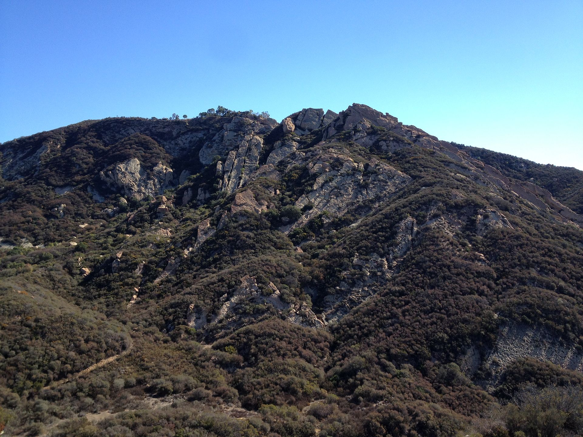
Photo via Wikipedia
5. Saddle Peak
Distance from UCLA: 20.9 miles Difficulty Level: Moderate / Difficult
The Stunt High Trail to Saddle Peak is one of L.A.’s best kept secrets, as it is less popular and publicized than other trails including those in the Hollywood Hills area such as Runyon Canyon and Griffith Park. The trail is a total distance of 4 miles round trip and requires a minimum of 3 hours to complete the trek, making it almost a half-day time commitment even for avid hikers. The trail cuts through the unique red rock of the Santa Monica Mountains, which, along with the extremely abundant biological diversity surrounding the path, makes for interesting discoveries and photo opportunities. While Saddle Peak is significantly travelled on the weekends, it is nearly deserted on the weekdays. With flexible schedules of students from virtual classes, this is an optimal time to undertake the journey and have the trail nearly to yourself. While the Stunt High Trail is significantly farther from campus than others we have mentioned, it offers a stunning bird’s eye view of Malibu Beach from the hills of Topanga and is surely worth the extra transportation time.